Here are some examples showing how to use VersaTiles in the frontend:
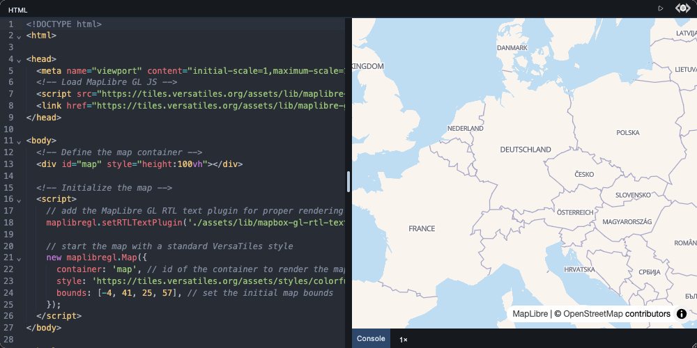
How to load MapLibre GL JS and show an OpenStreetMap basemap.
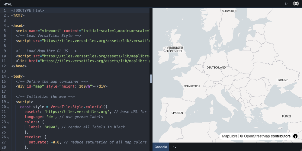
How to generate a style with versatiles-style and adjust its colors and labels.
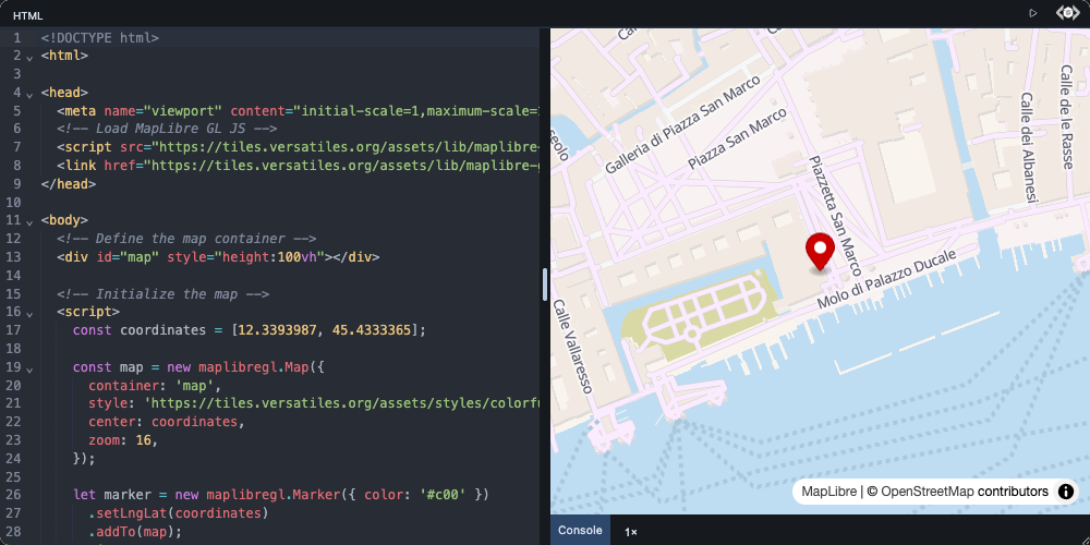
How to pin a coordinate and open a popup when it is clicked.
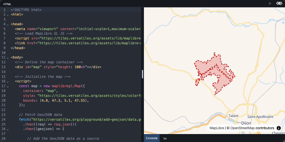
How to draw your own polygons and lines from a GeoJSON file.
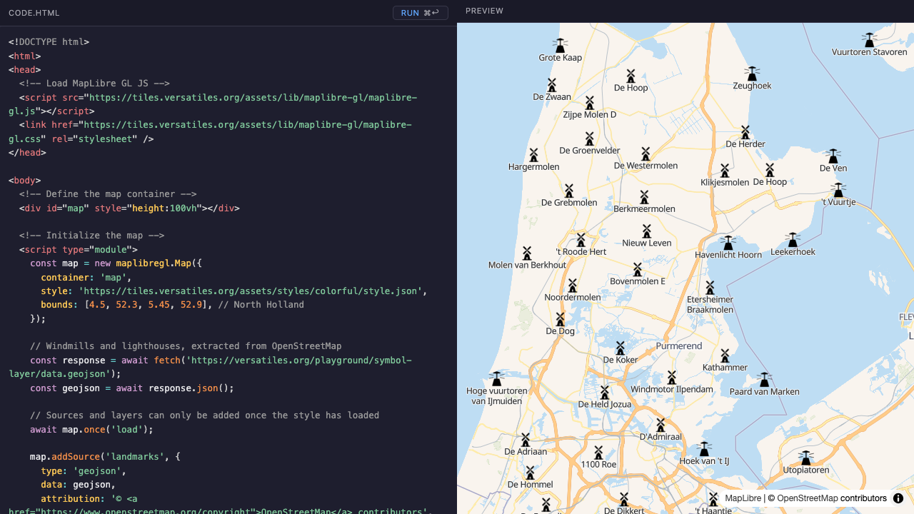
How to draw hundreds of points as icons with labels.
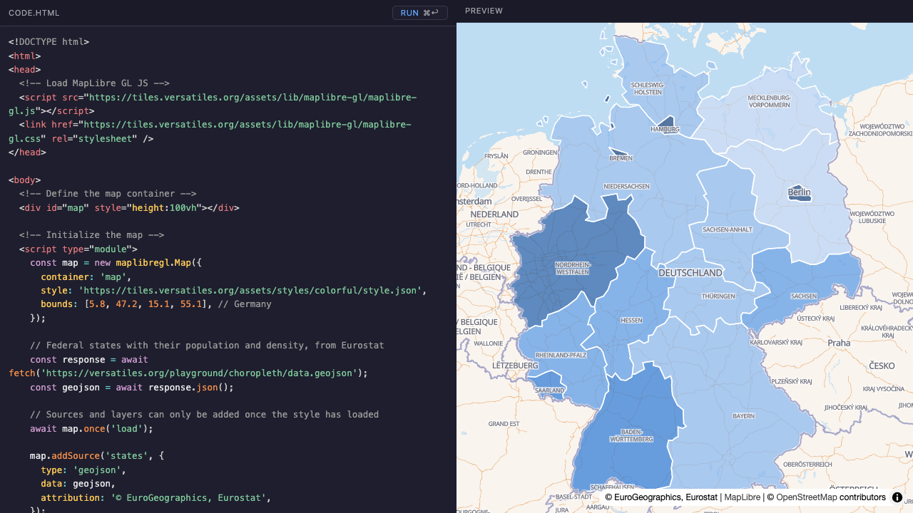
How to color areas by a value and show the figures on click.
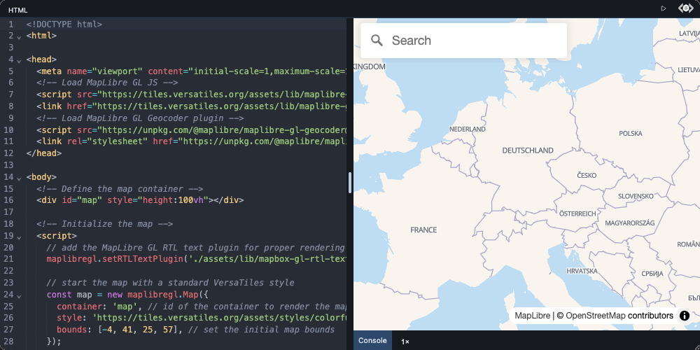
How to search for addresses and fly the map to the result.
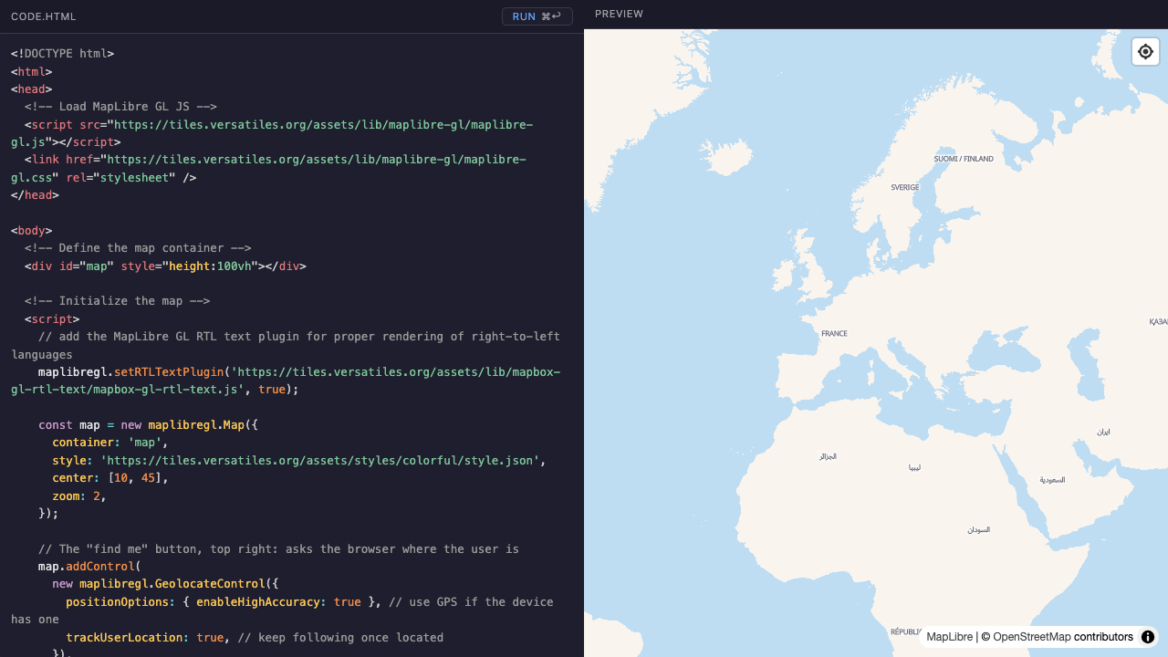
How to move the map to the visitor's own position.
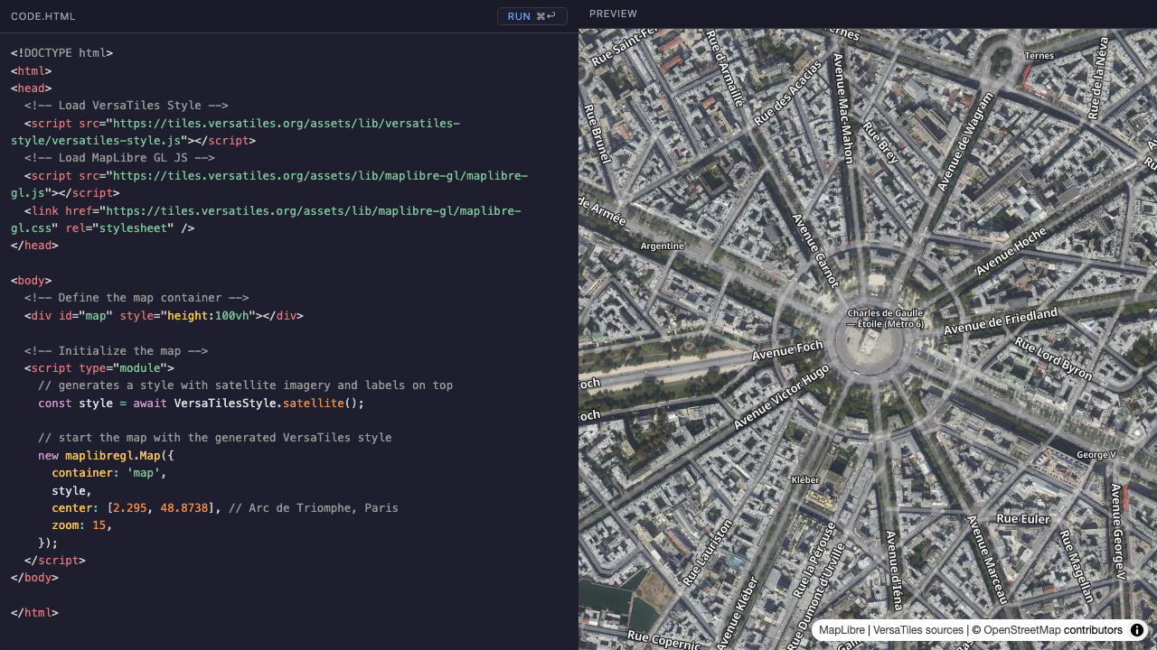
How to show satellite imagery with the map's labels on top.
How to render elevation data as 3D terrain and hillshading.