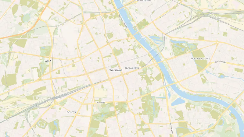
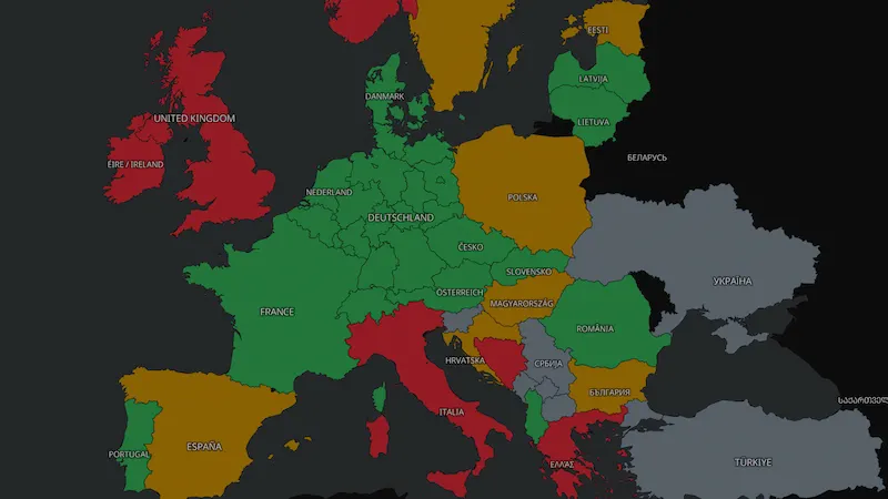
Tile server & style picker
Use our public tile server and build your own map styles.
a complete FLOSS map stack
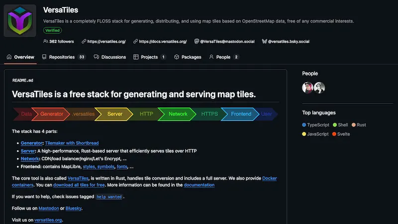
VersaTiles is a free and open alternative to commercial map services like Google Maps or Mapbox. It is designed for newsrooms, NGOs, developers, and public institutions who need reliable maps without vendor lock-in. VersaTiles is fully self-hostable, requires no API keys, charges no usage fees, and does not track your users.
VersaTiles is free and self-hostable. If your team relies on it, please consider chipping in so we can keep maintaining it.
A big thank-you to everyone helping keep VersaTiles going.

Use our public tile server and build your own map styles.
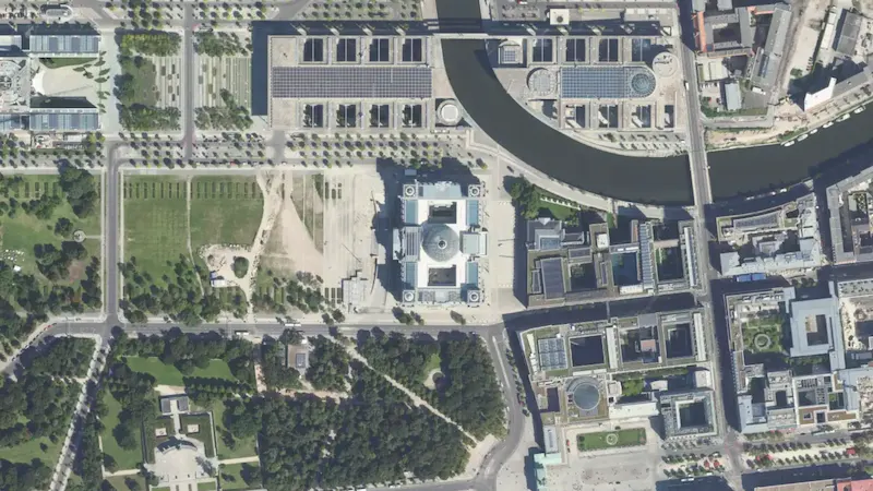
Free, high-resolution orthophotos served as map tiles.
Source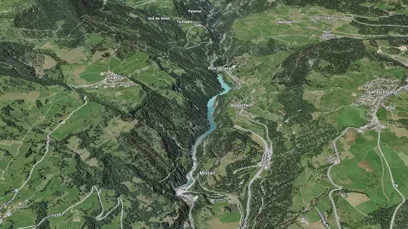
Global elevation data with hillshading and 3D terrain.
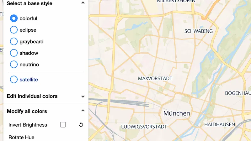
A MapLibre control to recolor, switch fonts/language, and export styles.
Source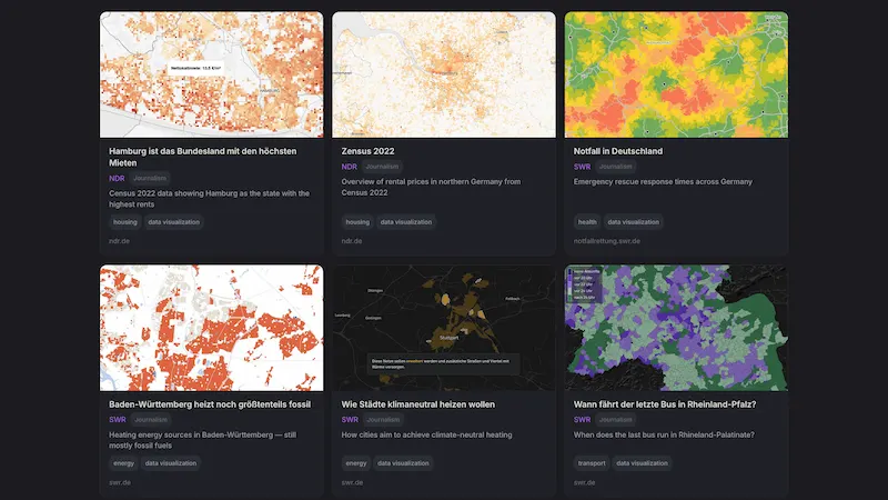
Real-world maps and creative uses of VersaTiles.
Source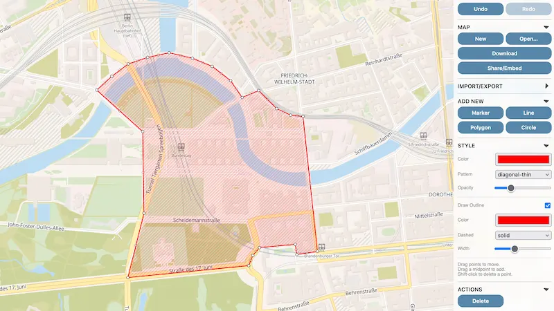
Drop pins, draw shapes, share editable maps in the browser.
Source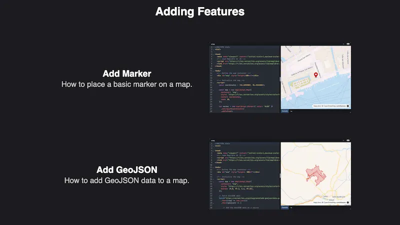
Runnable code examples for VersaTiles + MapLibre, right in the browser.
Source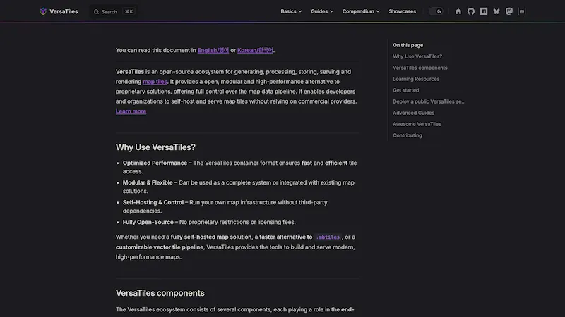
The complete docs hub for the ecosystem.
Source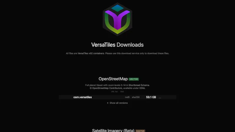
Ready-made tile data for the whole world.
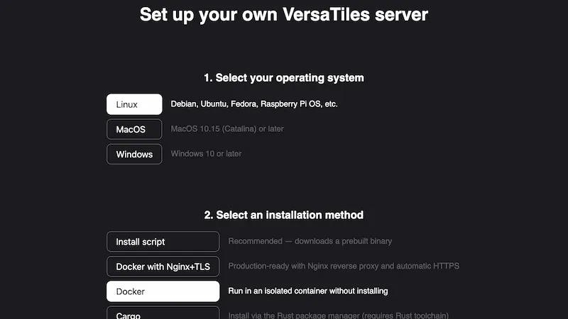
Answer a few questions, get a copy-pasteable install command.
Rust CLI to convert, validate, and serve tiles. Install via Homebrew, Cargo, or Docker.
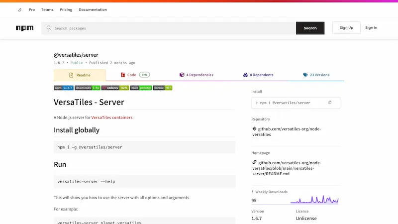
Lightweight Node.js server for .versatiles containers.
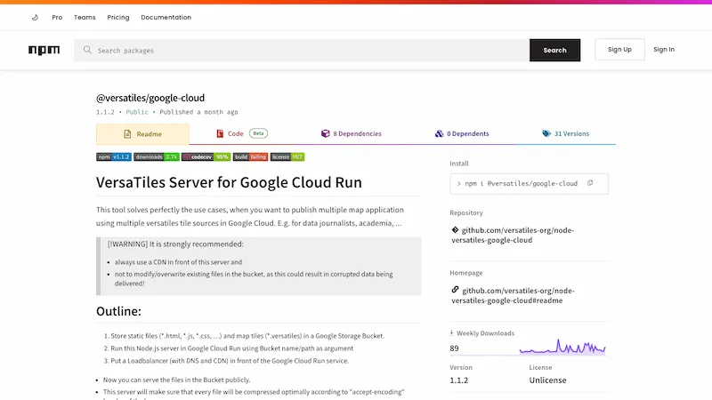
Serve tiles + assets straight from a GCS bucket on Google Cloud Run. Perfect for newsrooms.
Source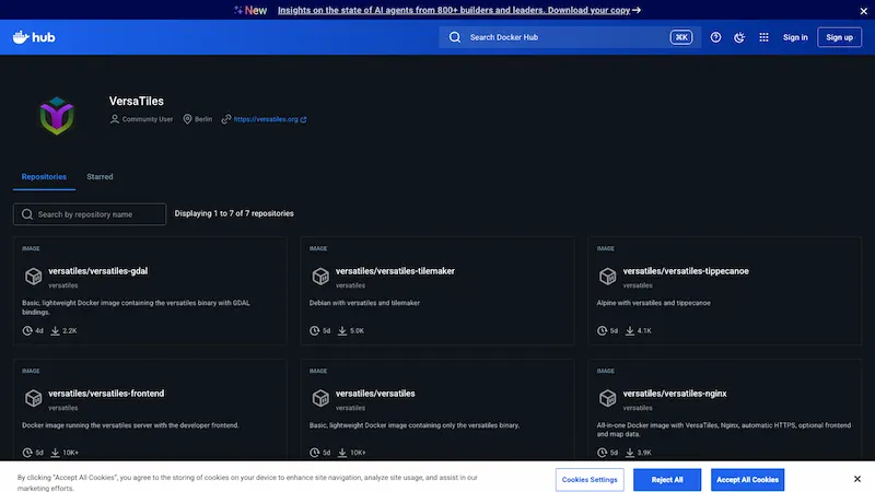
Production-ready images: versatiles, versatiles-frontend, versatiles-nginx, and more.
Source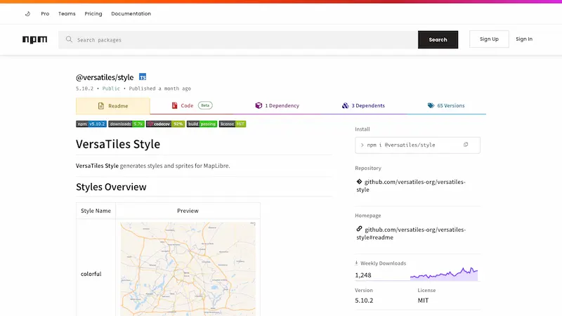
Generate MapLibre styles: Colorful, Graybeard, Eclipse, Neutrino, Shadow, Satellite.
Source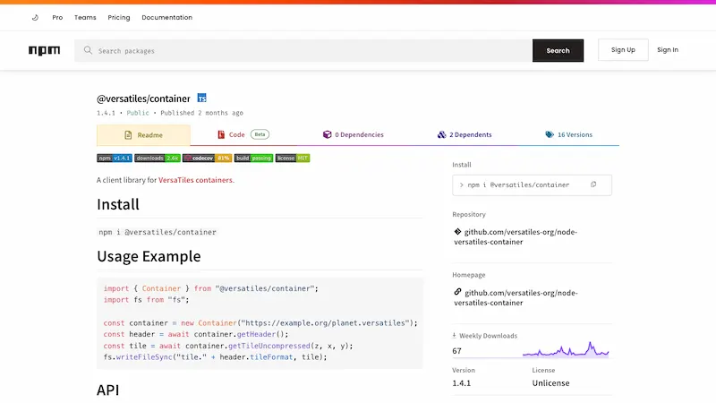
Read .versatiles files in Node and the browser.
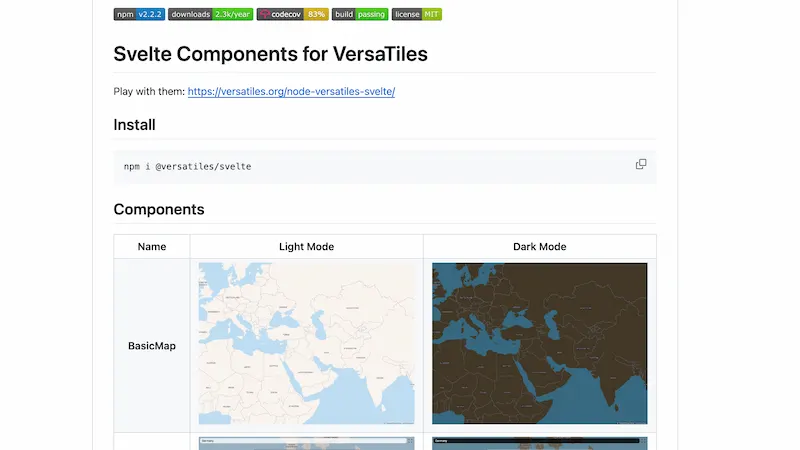
BasicMap, BBoxMap, LocatorMap, MapEditor for VersaTiles.
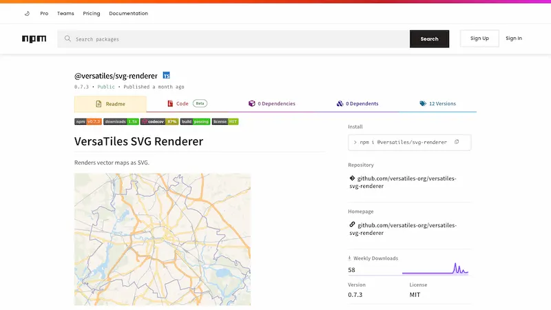
Render print-quality SVG maps from a style + bbox.
Source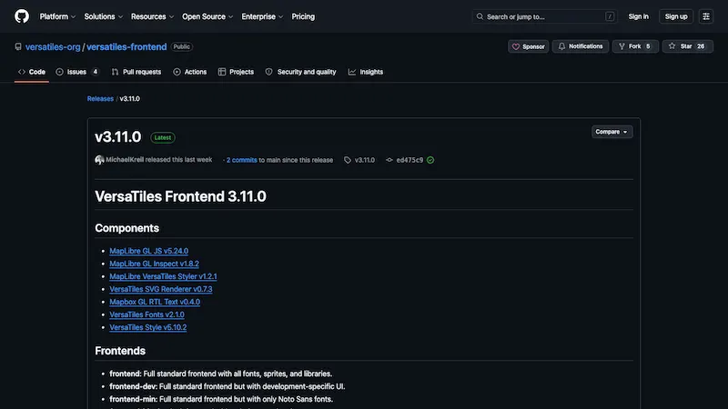
Pre-packaged web frontends with MapLibre, fonts, sprites, and styles.
Source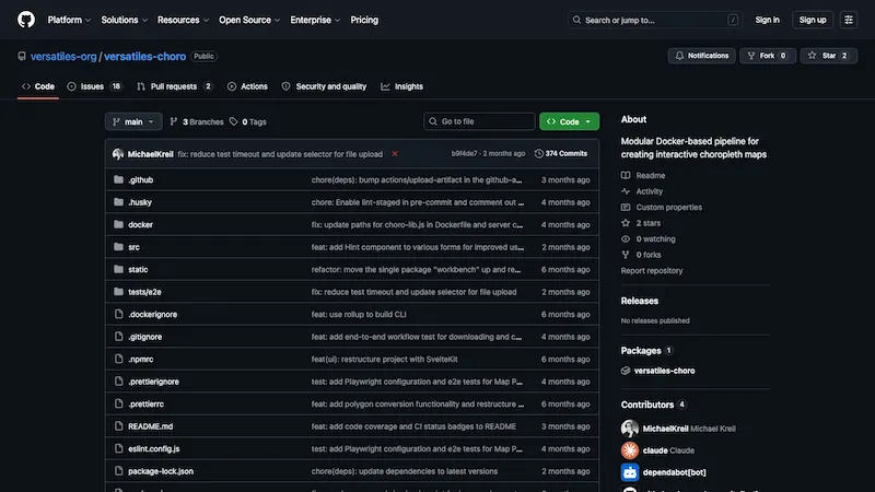
Docker WebUI + CLI for building choropleth maps.
See the current state of the scrapers fetching high-resolution orthophotos.
Source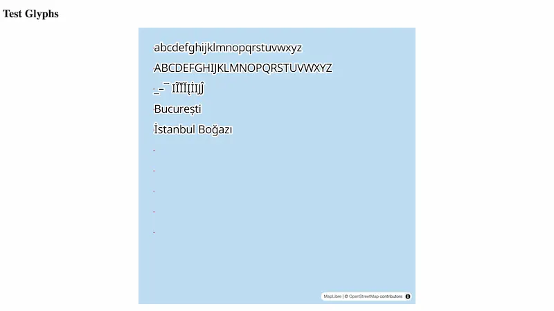
Rust tool that produces high-precision SDF glyph PBFs from TTF/OTF fonts.
Source
Ready-to-use Fira, Lato, Noto, Roboto glyph archives.
Source
Open specification for the .versatiles tile container format.
All repos, issues, discussions.
Project updates and ecosystem news.
Project updates on Bluesky.
![]()
![]()
Funded by European Commission's Next Generation Internet programme
through the NGI0 Commons Fund by
NLnet.
![]()
MIZ-Babelsberg has funded the development of the "VersaTiles Editorial Tools"